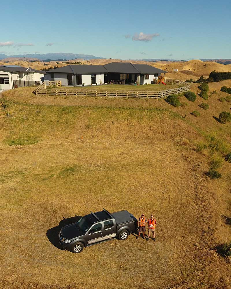
Drone Surveys
Unmanned Aerial Vehicles (UAVs) or Drones as they are more commonly known can be used to give a whole new perspective on any project.
Surveying the bay has invested in the latest technology and software and together with experienced and trained staff; we can provide a wide range of deliverables.
Based on the principles of photogrammetry, a survey technique that has been around for many years, which is the science of making measurements from photographs. We are able to provide you with anything from true scale orthophotos, oblique or 360° imagery and video footage to a detailed 3d mesh or point cloud as well as being able to undertake large scale volume and area calculations.
Would you like to see your site, farm or property from above?
Want to know the size of your section?
Need a large volume calculation?
Require a 3D point cloud of your project?
Want project progress images?

As surveyors we understand the importance of accuracy and all aerial survey work undertaken is checked with traditional survey methods before being released to the client.
Surveying The Bay are very Health and Safety conscious and before undertaking a flight, we carry out a comprehensive planning process involving checking air space for any possible flight restrictions along with carrying out a risk assessment.
All aerial work undertaken within the CAA regulations of Part 101.
If you would like to know more, give us a call on 0800 78 78 42.
Enquire Now


